Frankie Reed · 31 October 2026
Biodiversity Assessments Inform Infrastructure Developments Linking Remote Settlements to Broader Economic Networks
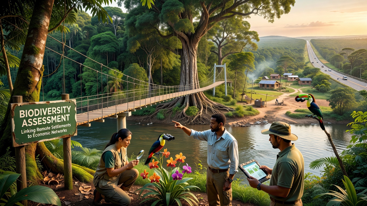
Remote settlements often sit at the edges of established transport grids, and biodiversity assessments now shape decisions on how new roads, bridges, and digital links reach those communities without erasing local ecosystems, according to recent project reports from multiple regions.
Planners begin each stage by mapping species distributions, habitat corridors, and seasonal migration patterns, then adjust route alignments and construction schedules to reduce fragmentation while still shortening travel times to markets and services. Data collected through field surveys and satellite imagery feed directly into environmental impact statements that regulatory bodies review before permits are issued.
Assessment Methods and Data Integration
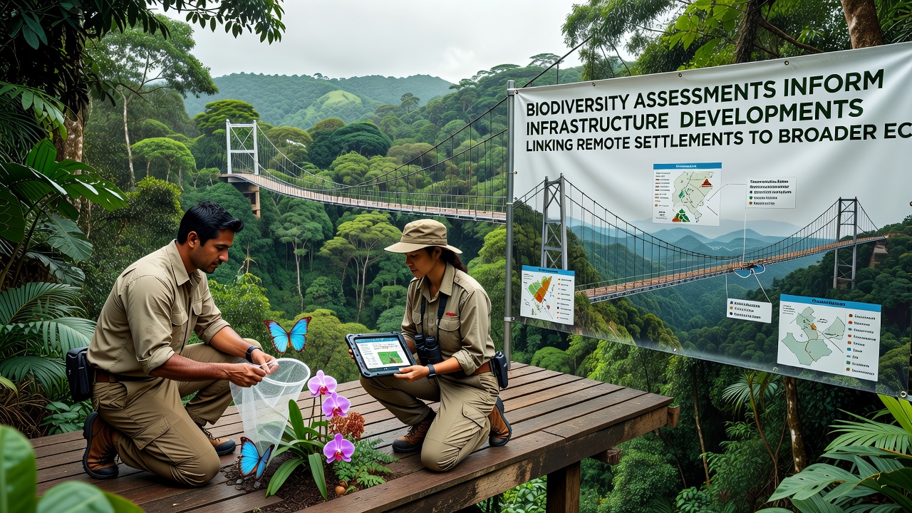
Teams deploy camera traps, acoustic sensors, and drone-based vegetation surveys to gather baseline records that span several seasons, and these records are cross-referenced with existing national biodiversity databases to identify high-value areas that require avoidance or mitigation measures. In October 2026 several agencies plan to release updated global datasets that standardize how such information is shared across borders, allowing engineers to model cumulative effects over larger landscapes.
Geographic information systems combine these ecological layers with topographic and socioeconomic data, so route options can be scored for both connectivity gains and habitat loss; the resulting matrices help decision-makers weigh trade-offs in transparent public consultations. Observers note that projects using this layered approach report fewer delays during permitting phases because potential conflicts surface early.
Case Examples from Varied Regions
Take one corridor project in northern Canada where assessments identified caribou calving grounds that overlapped with proposed gravel roads; the final design shifted the alignment by twelve kilometers and added wildlife underpasses, while the same assessment informed fiber-optic cable placement that now supports remote health clinics and small-scale mining operations. Similar patterns appear in Australian outback initiatives, where assessments of arid-zone flora guided the placement of water points and rest areas along upgraded freight routes.
European examples show assessments integrated into rail extensions that connect alpine villages to lowland distribution centers, and those studies relied on long-term monitoring data from research institutions to set construction windows that avoid breeding periods for protected bird species. In each instance the assessments supplied quantitative thresholds rather than vague recommendations, which allowed contractors to meet both ecological and economic targets.
Policy Frameworks and Stakeholder Roles
National legislation in several countries now requires biodiversity net-gain calculations before infrastructure budgets are approved, and these calculations draw on standardized metrics developed by international bodies such as the Convention on Biological Diversity. Local governments, indigenous councils, and engineering firms participate in joint working groups that translate assessment findings into contract specifications, including limits on vegetation clearing and requirements for post-construction monitoring.
Funding agencies increasingly tie disbursement tranches to verified compliance with these specifications, creating incentives for accurate data collection from the outset. Reports from the International Union for Conservation of Nature document how such linked financing has reduced unplanned habitat conversion along recently completed corridors in Southeast Asia and sub-Saharan Africa.
Monitoring Outcomes and Future Adjustments
After construction crews finish, automated sensors continue to track wildlife movement and vegetation recovery for at least five years, and the resulting time-series data inform adaptive management plans that can trigger additional mitigation if thresholds are exceeded. Communities that gain road access also contribute citizen-science observations that supplement professional datasets, closing feedback loops between local knowledge and central planning offices.
October 2026 workshops scheduled by regional transport authorities will review aggregated results from corridors completed between 2021 and 2025, focusing on whether biodiversity safeguards altered projected economic benefits or improved long-term project resilience against climate variability. Those sessions are expected to refine assessment protocols for the next generation of connectivity initiatives.
Conclusion
Biodiversity assessments have become embedded in the planning cycle for infrastructure that reaches remote settlements, supplying the evidence needed to balance ecological protection with expanded access to markets and services. Continued refinement of data standards and monitoring practices supports consistent application across different geographic and regulatory contexts, while scheduled reviews in late 2026 will determine how effectively current methods scale to future projects.